Log in
All resources
Create a design
1,095,938 Free Images of Maps Of Carniola
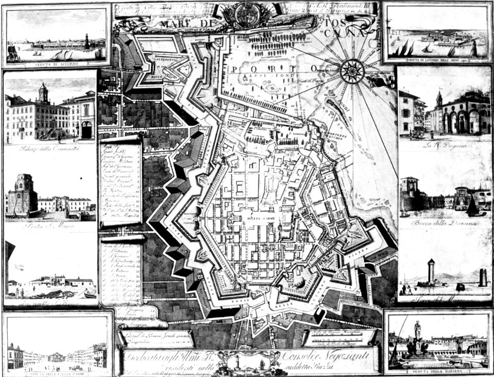
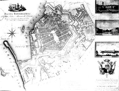
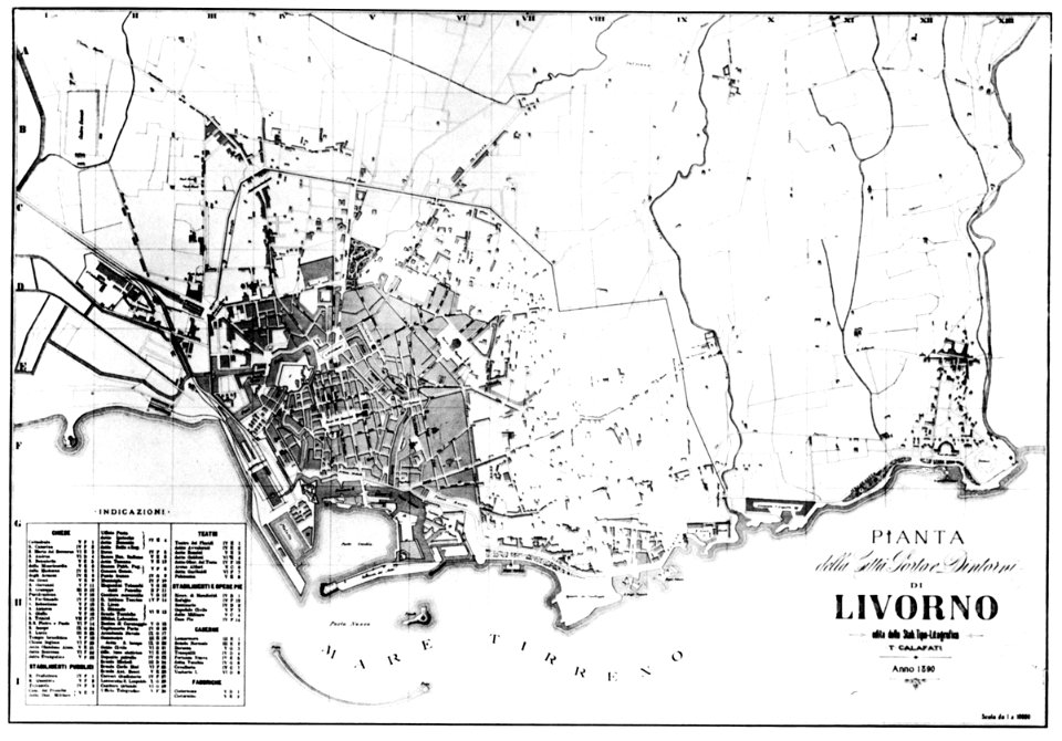
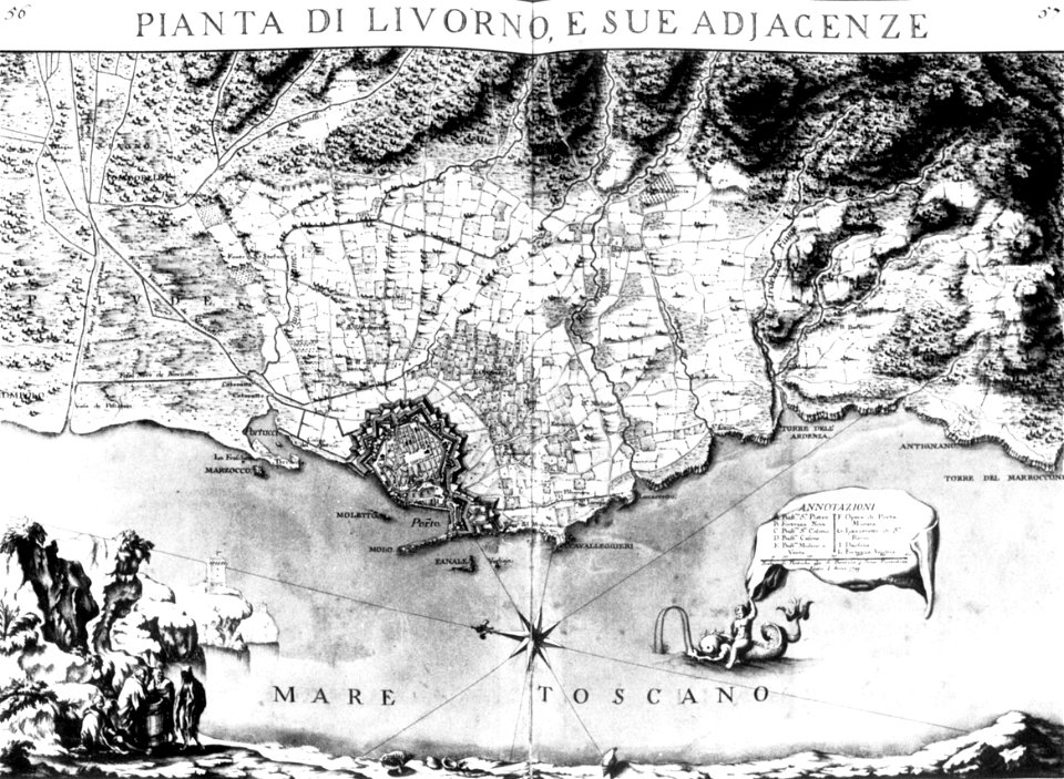
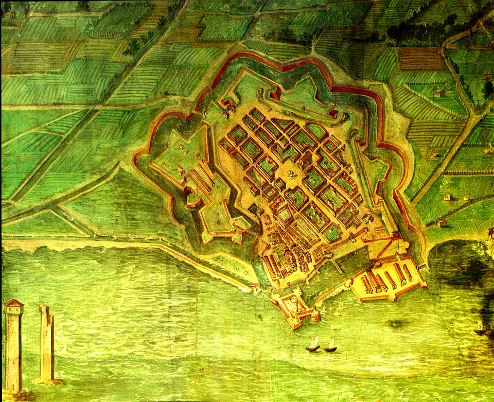
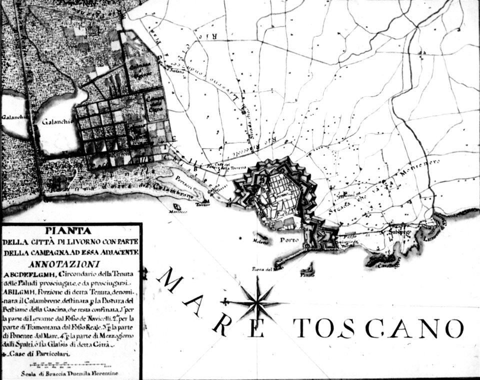
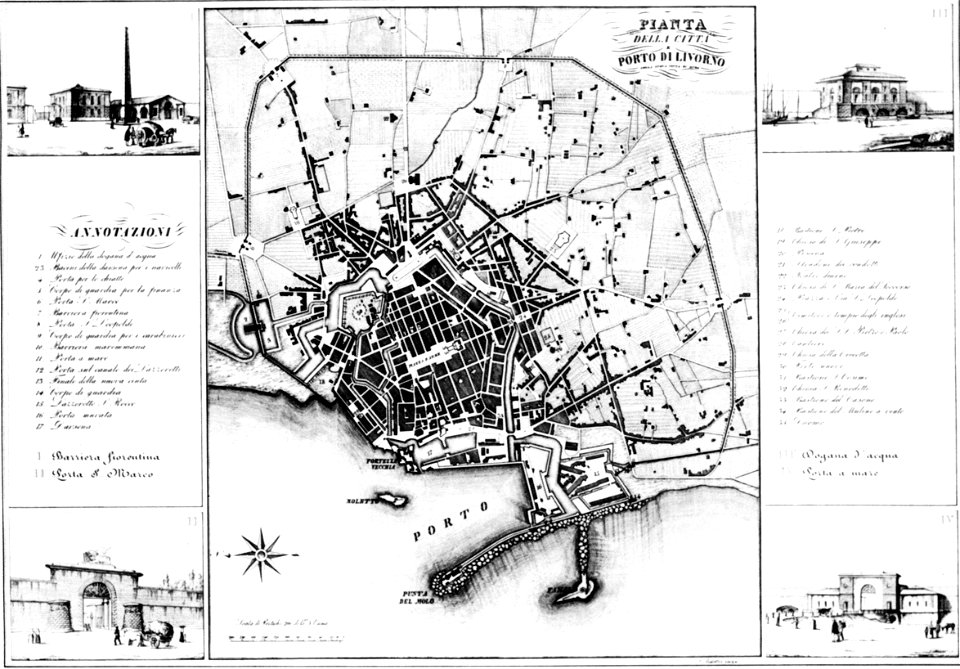
old maps of livorno
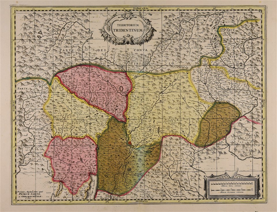
maps by pieter schenk (i)
gerard valck
maps made in the 17th century
atlantis magni tomus secundus (biblioteca comunale di trento)
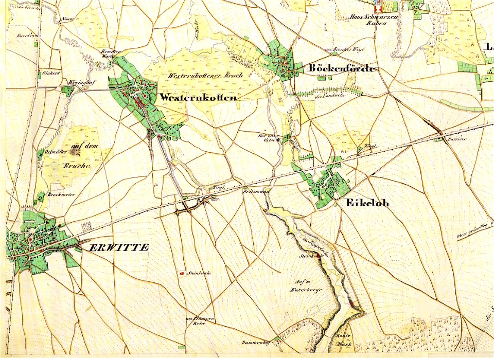
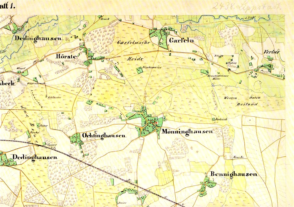
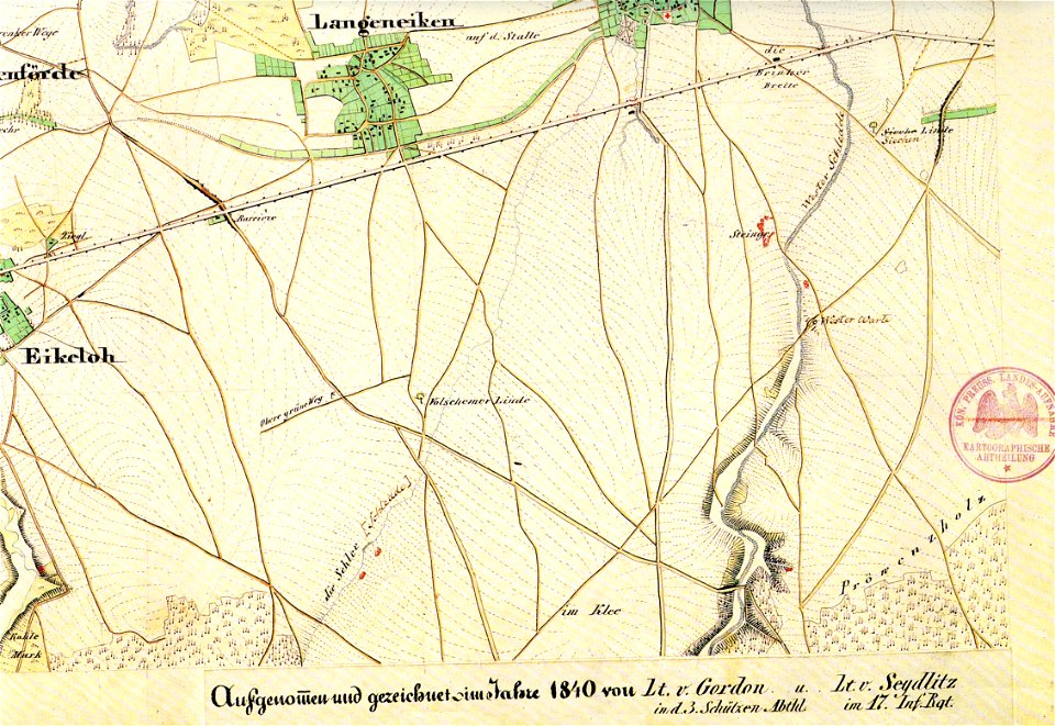
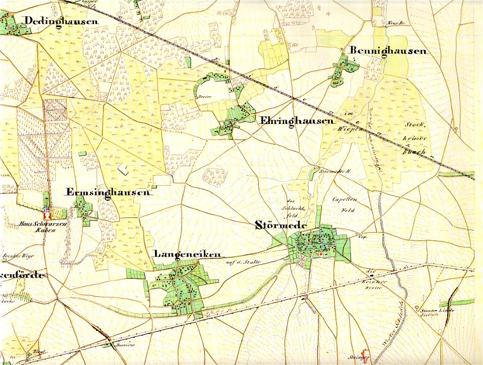
störmede
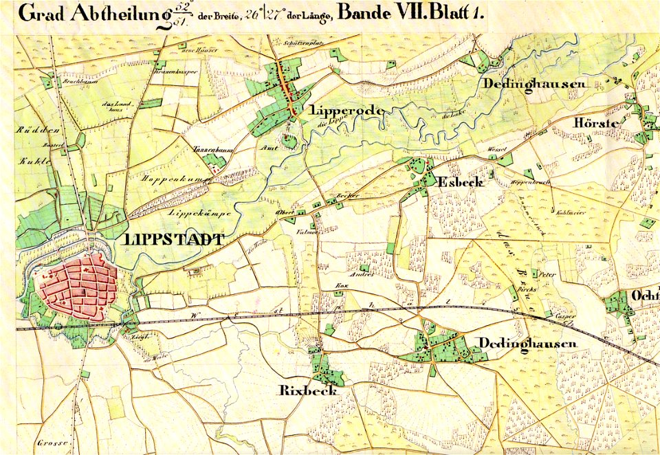
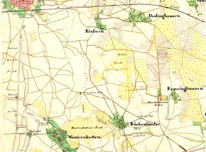
maps of lippstadt
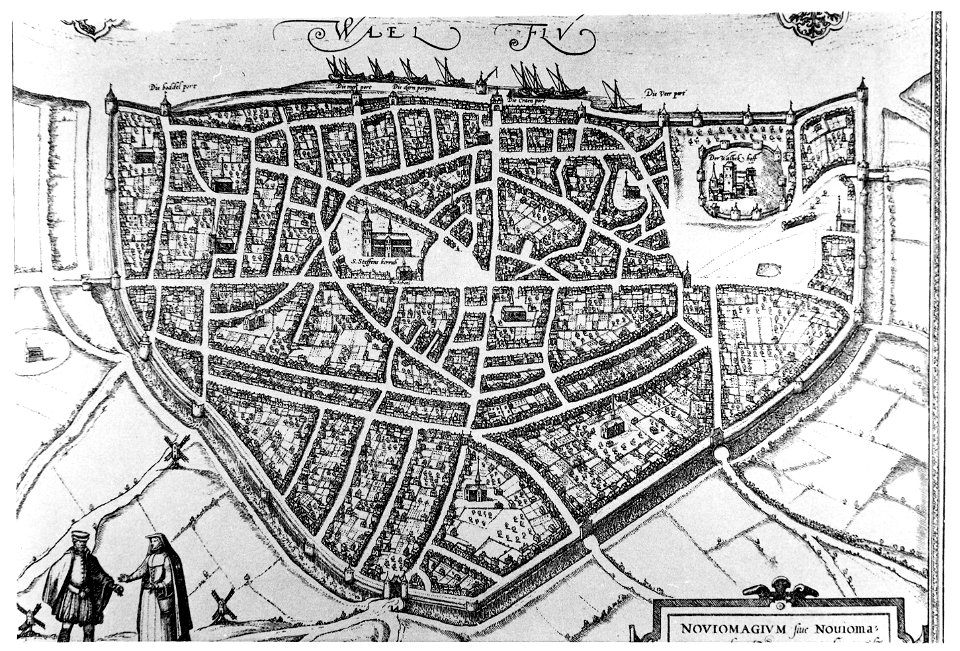
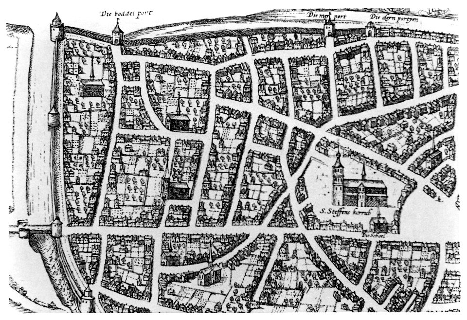
old maps of nijmegen
maps with cartouches
atlas van der hagen
old maps of livorno
old maps of livorno
old maps of livorno
old maps of livorno
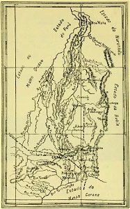
old maps of goiás
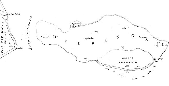
maps of wieringen
wieringen
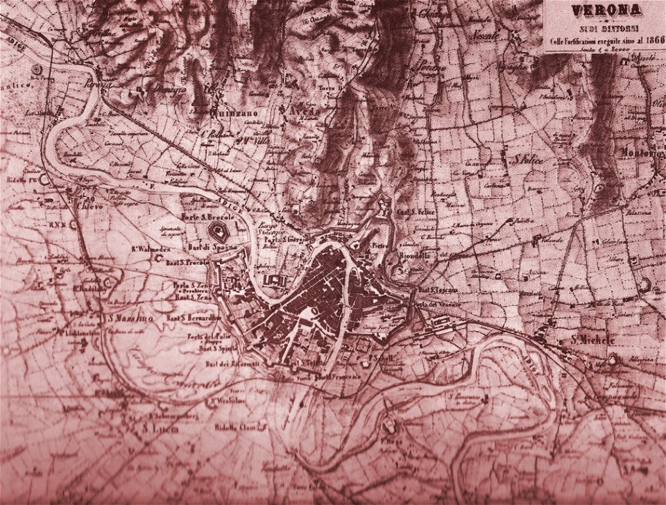
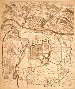
old maps of verona
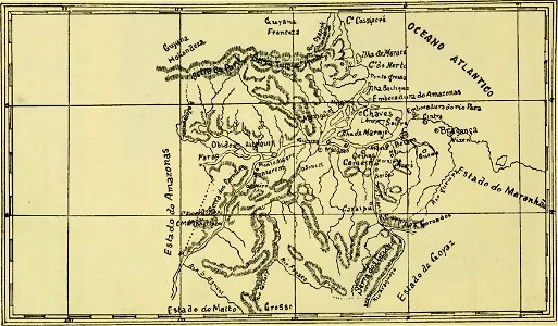
old maps of pará
maps of maui
maui
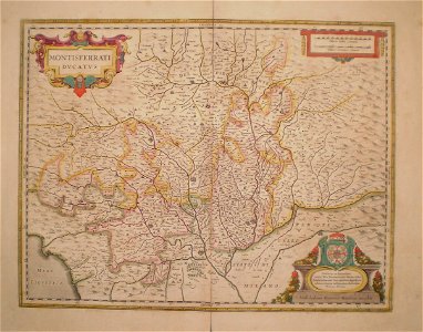
old maps of piedmont
old maps of verona
maps of parla
humanejos
old maps of italy
old maps of greece
1855 maps of massachusetts
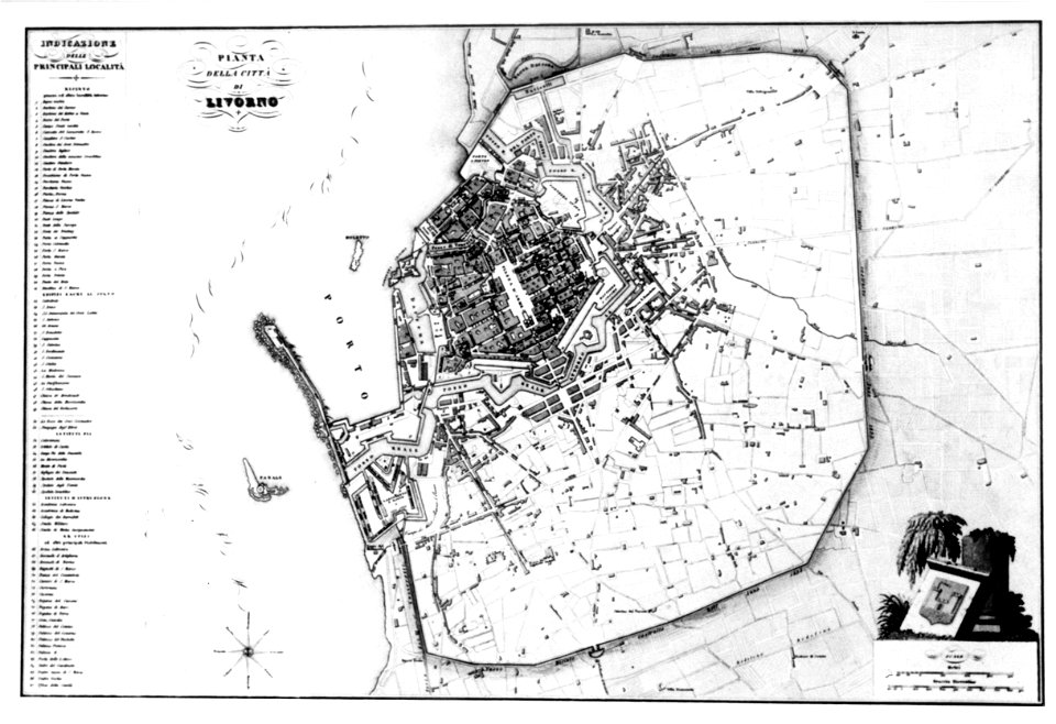
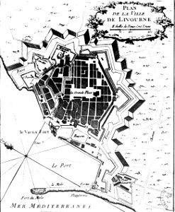
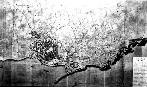
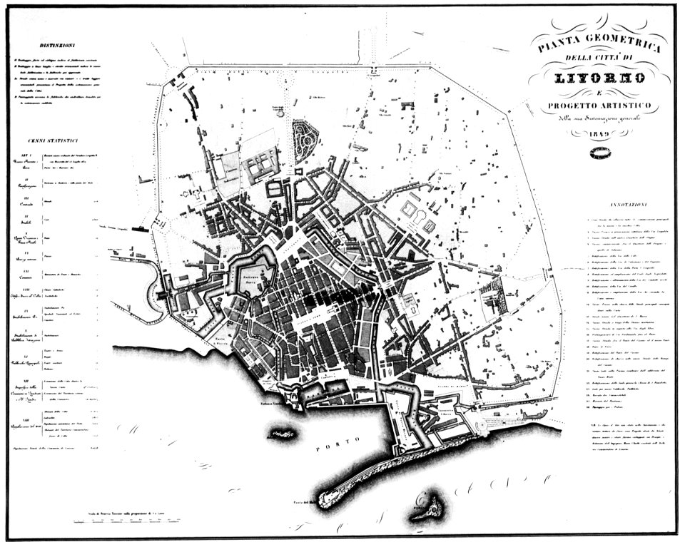
old maps of livorno
old maps of livorno
old maps of livorno
old maps of livorno
old maps of livorno
old maps of livorno
old maps of livorno
maps of mechelen
mechelen
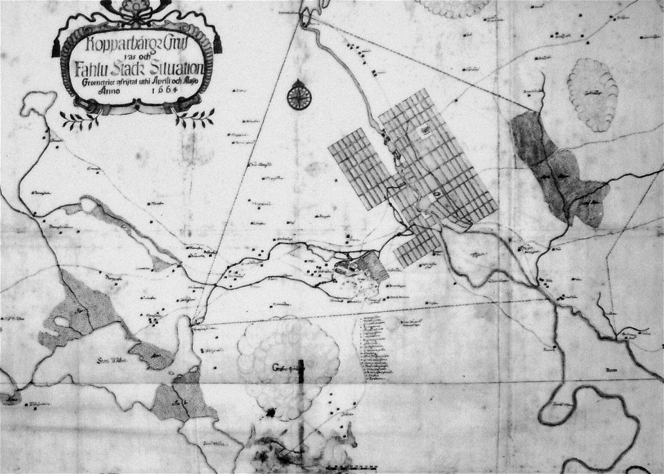
old maps of falun
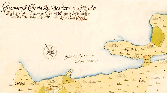
maps of lidingö
grönstaviken
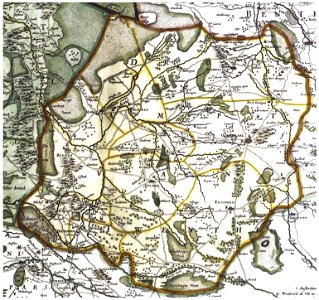
maps of württemberg
langenenslingen
maps of württemberg
langenenslingen
maps of württemberg
langenenslingen
old maps of scandinavia
old maps of nijmegen
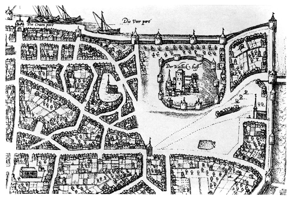
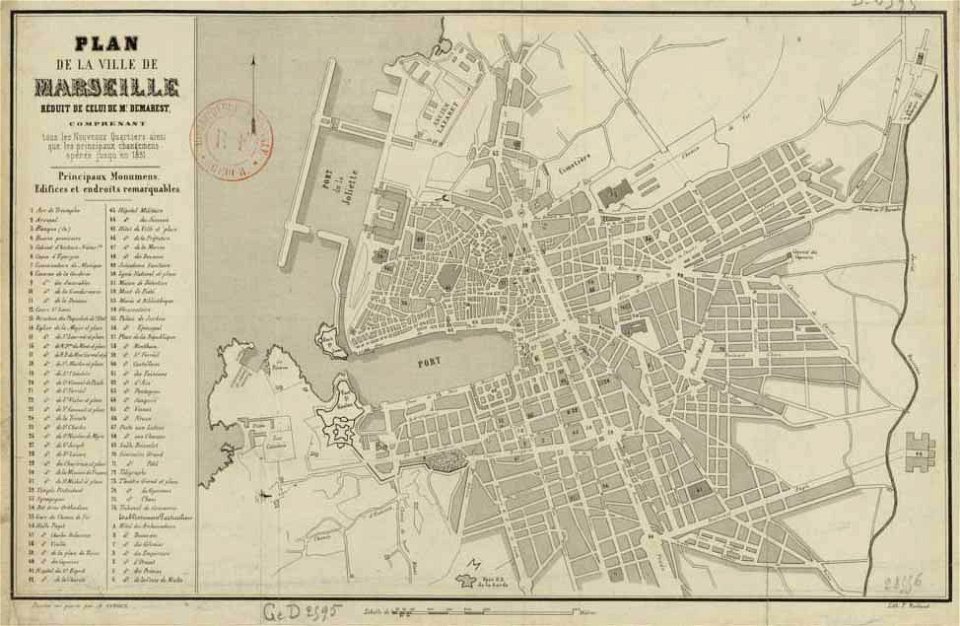
old maps of marseille
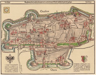
1550s maps of augsburg
old maps of marseille
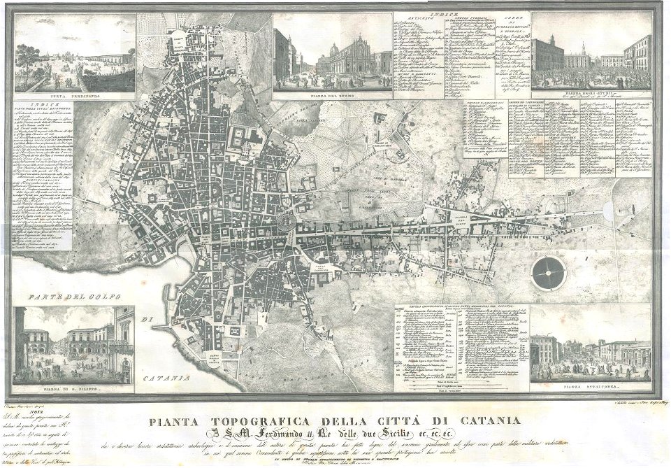
old maps of catania
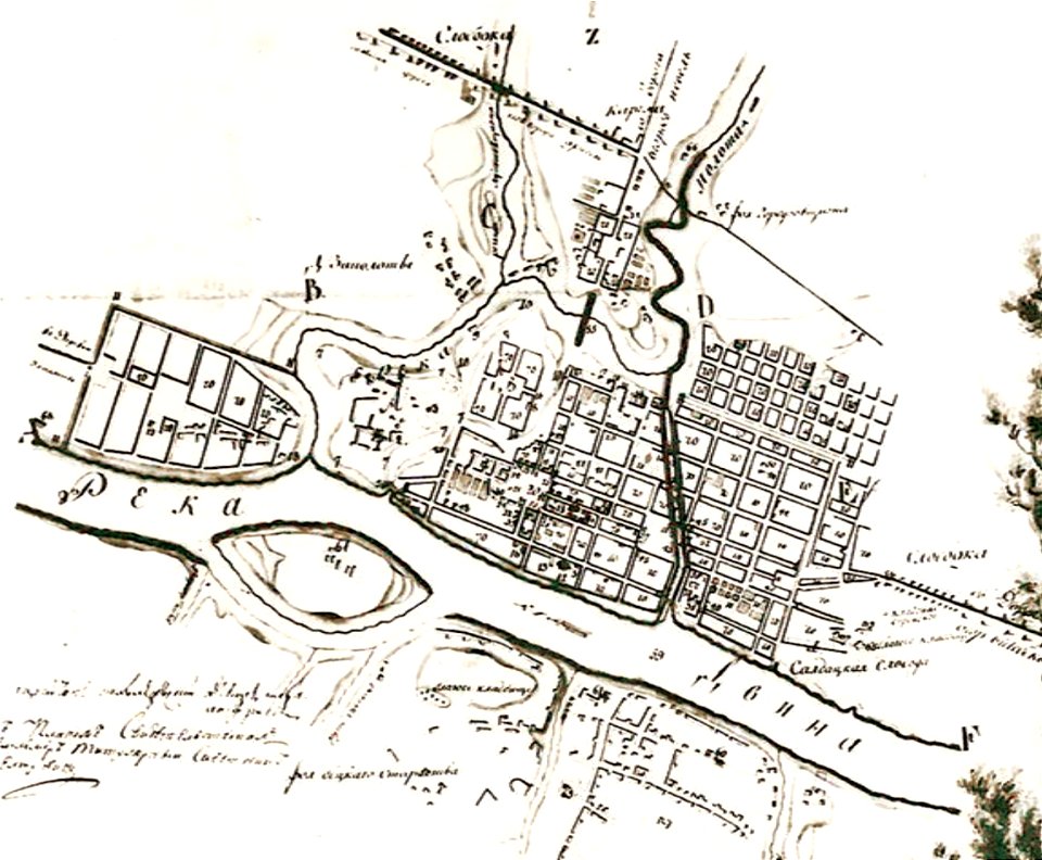
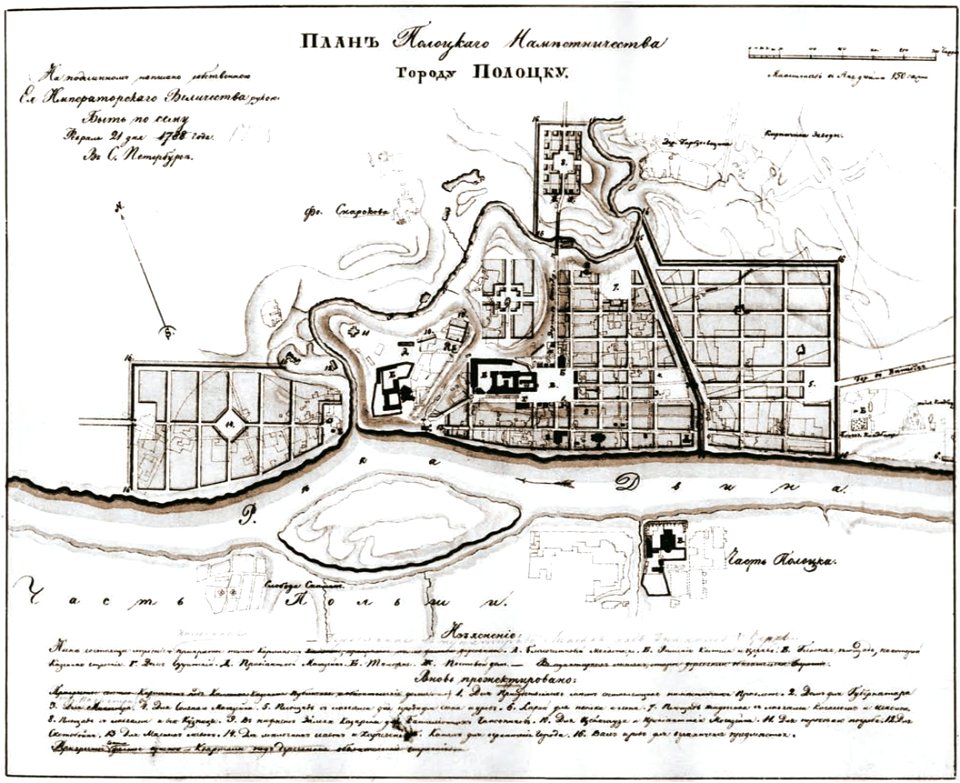
old maps of polotsk
old maps of polotsk
old maps of polotsk
old maps of nijmegen
maps of lippstadt
störmede
maps of lippstadt
störmede
maps of lippstadt
störmede
maps of lippstadt
störmede
maps of lippstadt
störmede
maps of lippstadt
störmede
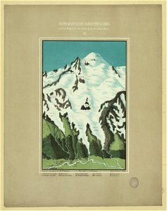
maps of mont blanc
maps of mont blanc
maps of marum
trimunt
maps of finnish war
old maps of nijmegen
old maps of nijmegen
old maps of gdańsk
old maps of turin
old maps of twente
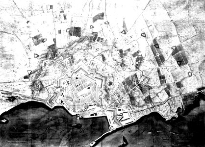
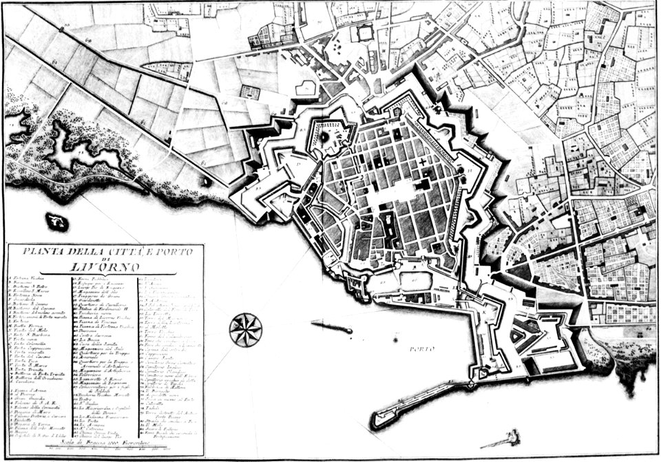
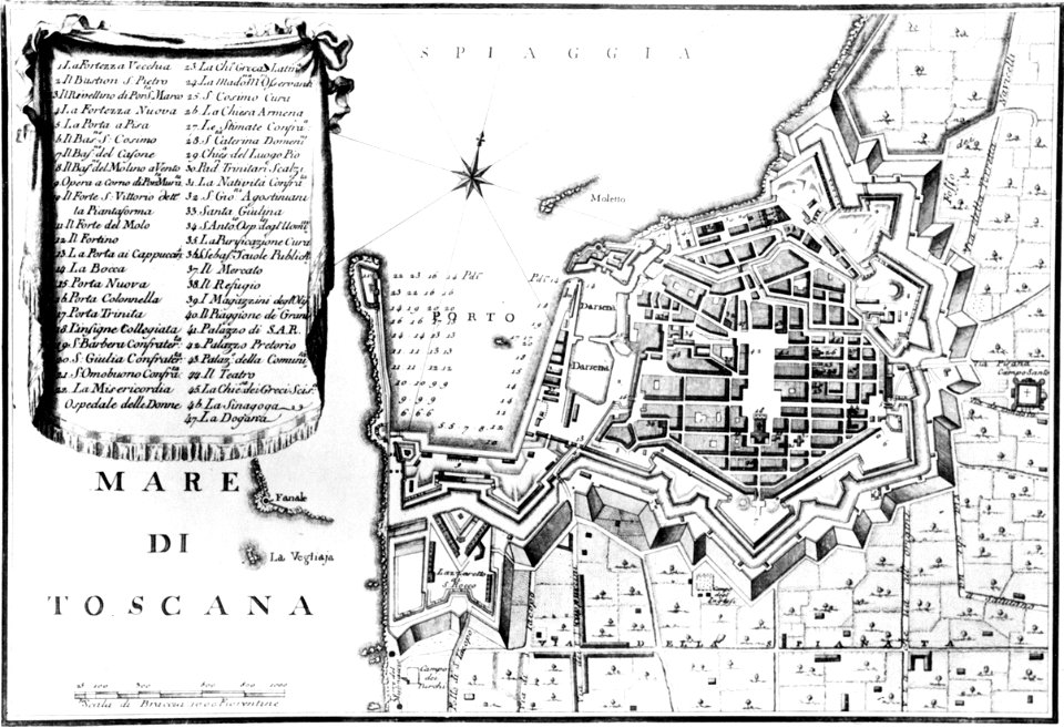
old maps of livorno
old maps of livorno
old maps of livorno
old maps of livorno
old maps of livorno
old maps of livorno
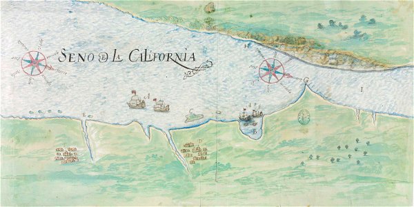
gulf of california
pictorial maps
pictorial maps
ships of japan
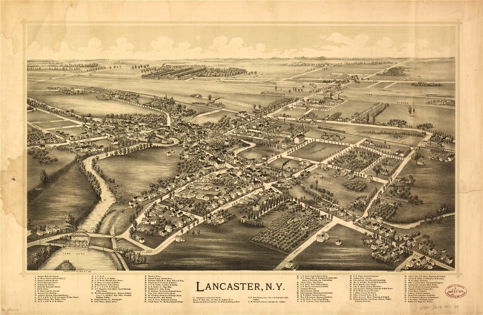
erie county
new york
erie county
new york
maps with cartouches
atlas van der hagen
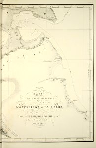
old maps of the strait of magellan
voyage au pôle sud
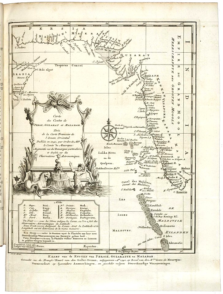
maps of the dutch east india company - korea
1745
old maps of the dutch east india company
1660s
old maps of the dutch east india company
1747)
birds in art of france
lions in art
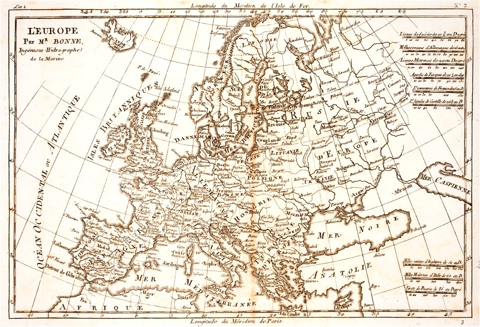
prints from bonne atlas de toutes les parties at the peace palace library
18th-century maps of europe
prints from bonne atlas de toutes les parties at the peace palace library
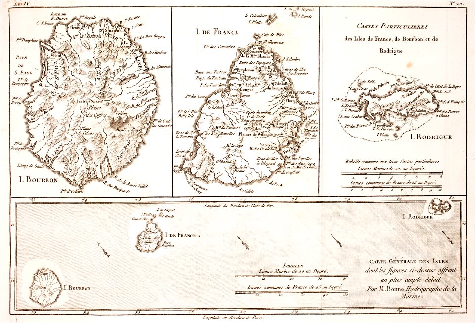
maps of rodrigues island
david rumsey historical map collection
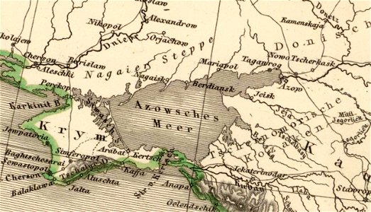
old maps of the sea of azov
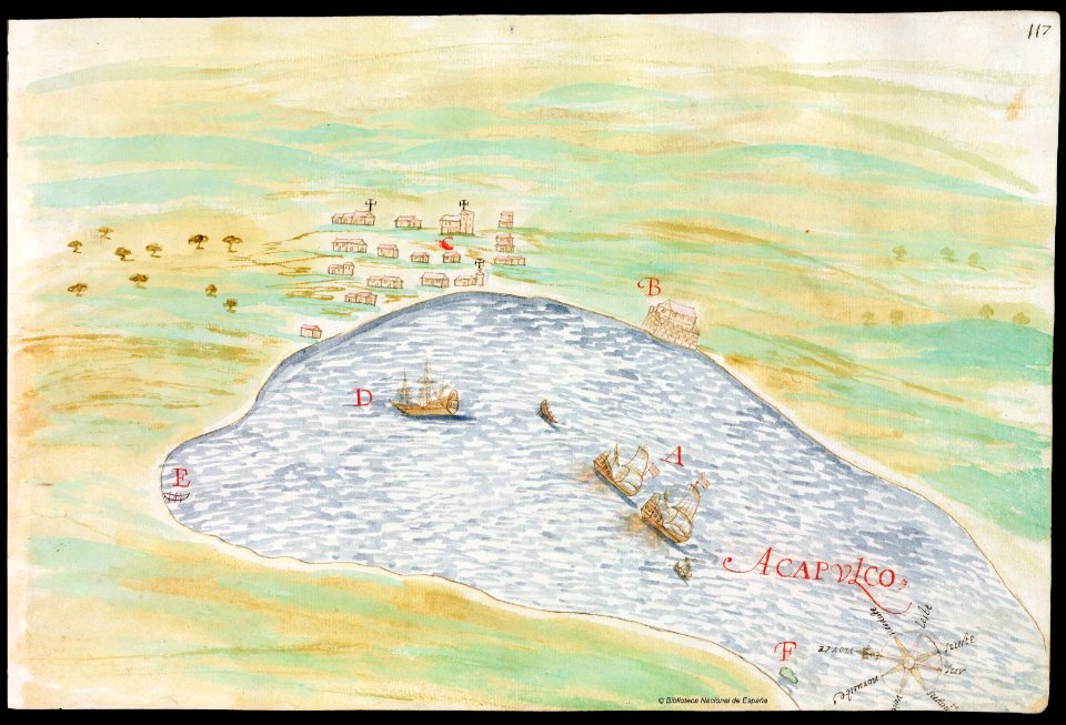
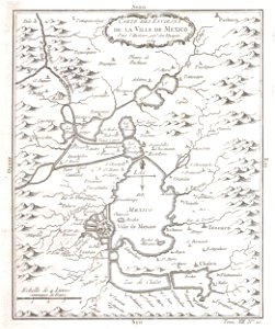
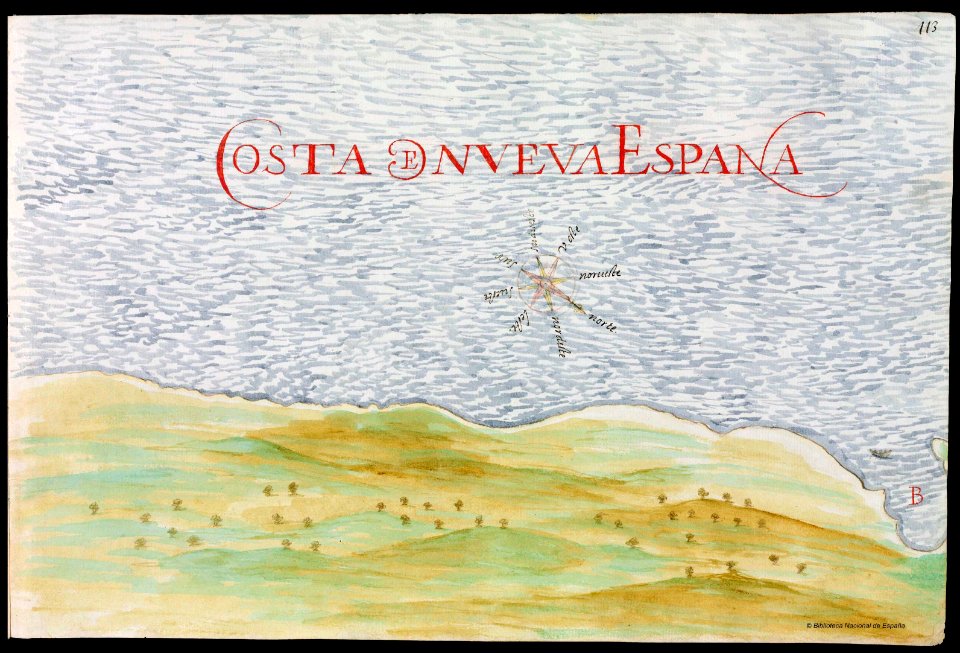
old maps of mexico
mexico
maps with cartouches
atlas van der hagen
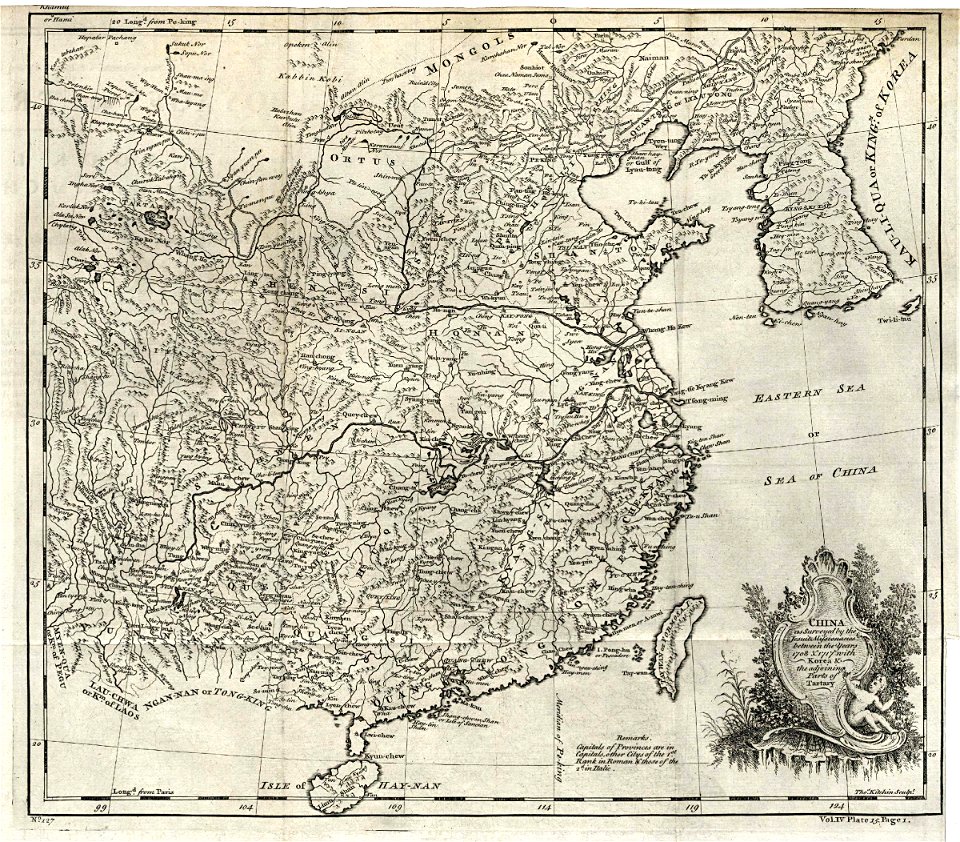
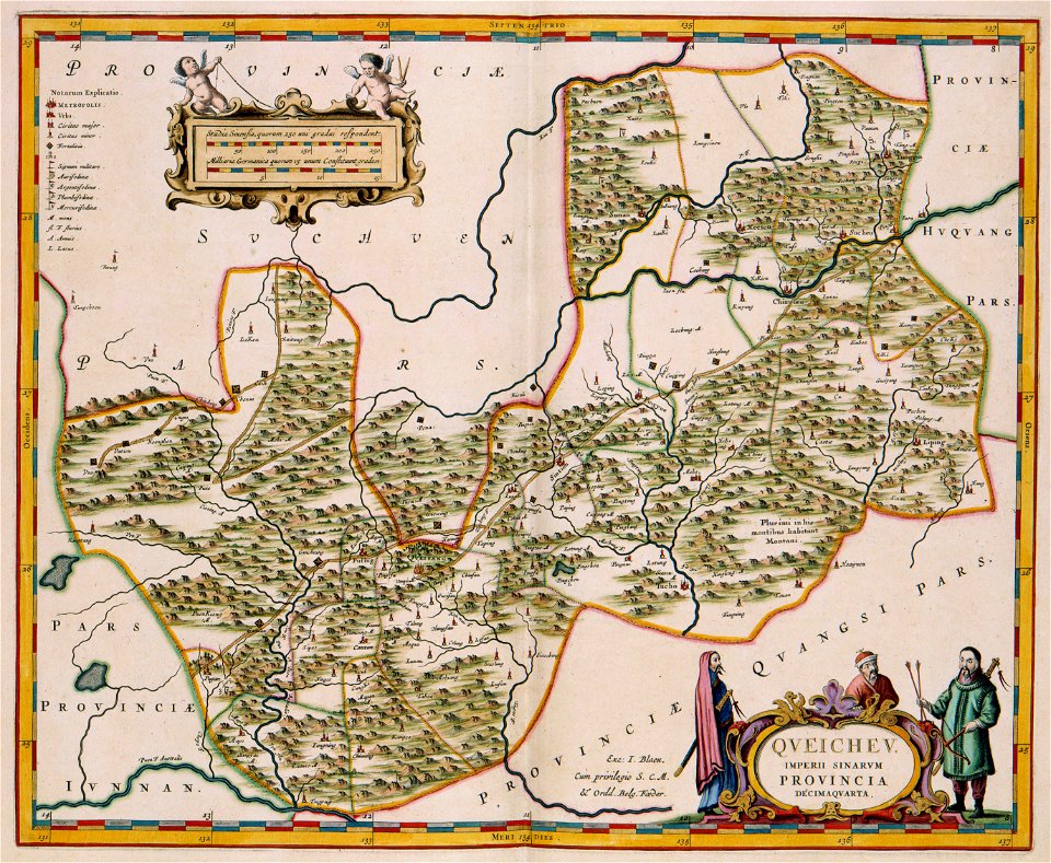
17th-century maps of china
guizhou
maps with cartouches
vercelli
dutch-language maps
johannes ratelband
maps by pieter schenk (i)
gerard valck
johann baptist homann
latin-language maps
old maps of algeria
bodleian library
cosmographia claudii ptolomaei alexandrini
latin-language maps
burg meersburg
pencil drawing
the northern hemisphere of the celestial globe by albrecht dürer
old celestial maps
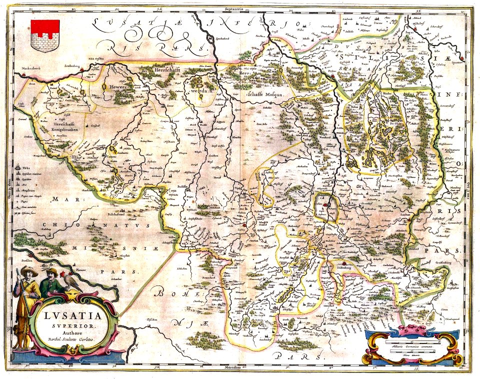
upper lusatia
kwisa
gerard valck
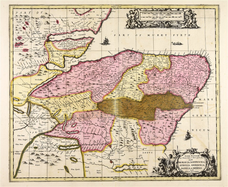
scotland
maps made in the 17th century
gerard valck
gerard valck
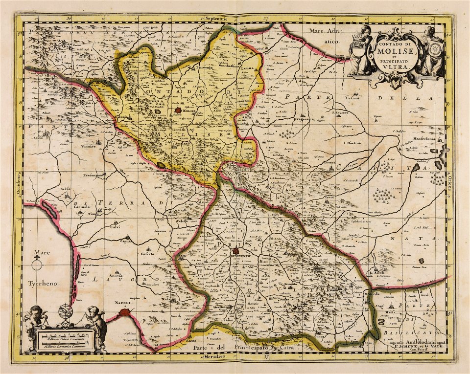
campania
maps made in the 17th century
gerard valck
maps made in the 18th century
old maps of europe
sierra leone
gerard valck
maps made in the 17th century
gerard valck
maps made in the 17th century
gerard valck
maps made in the 17th century
gerard valck
maps made in the 17th century
gerard valck
maps made in the 17th century
gerard valck
maps made in the 17th century
gerard valck
maps made in the 17th century
gerard valck
maps made in the 17th century
gerard valck
maps made in the 17th century
gerard valck
old maps of mexico
pictorial maps
3601 - 3700 of 1,095,938
Next page
/ 10960